!['Gazetteer of Arabia Vol. II' [‎1395] (456/688)](https://iiif.qdl.qa/iiif/images/81055/vdc_100023486173.0x000001/IOR_L_MIL_17_16_2_2_0454.jp2/full/!1200,1200/0/default.jpg "'Gazetteer of Arabia Vol. II' [‎1395] (456/688)")
'Gazetteer of Arabia Vol. II' [1395] (456/688)
The record is made up of 1 volume (341 folios). It was created in 1917. It was written in English. The original is part of the British Library: India Office The department of the British Government to which the Government of India reported between 1858 and 1947. The successor to the Court of Directors. Records and Private Papers Documents collected in a private capacity. .
Transcription
This transcription is created automatically. It may contain errors.
-744
'OMAN
1S95
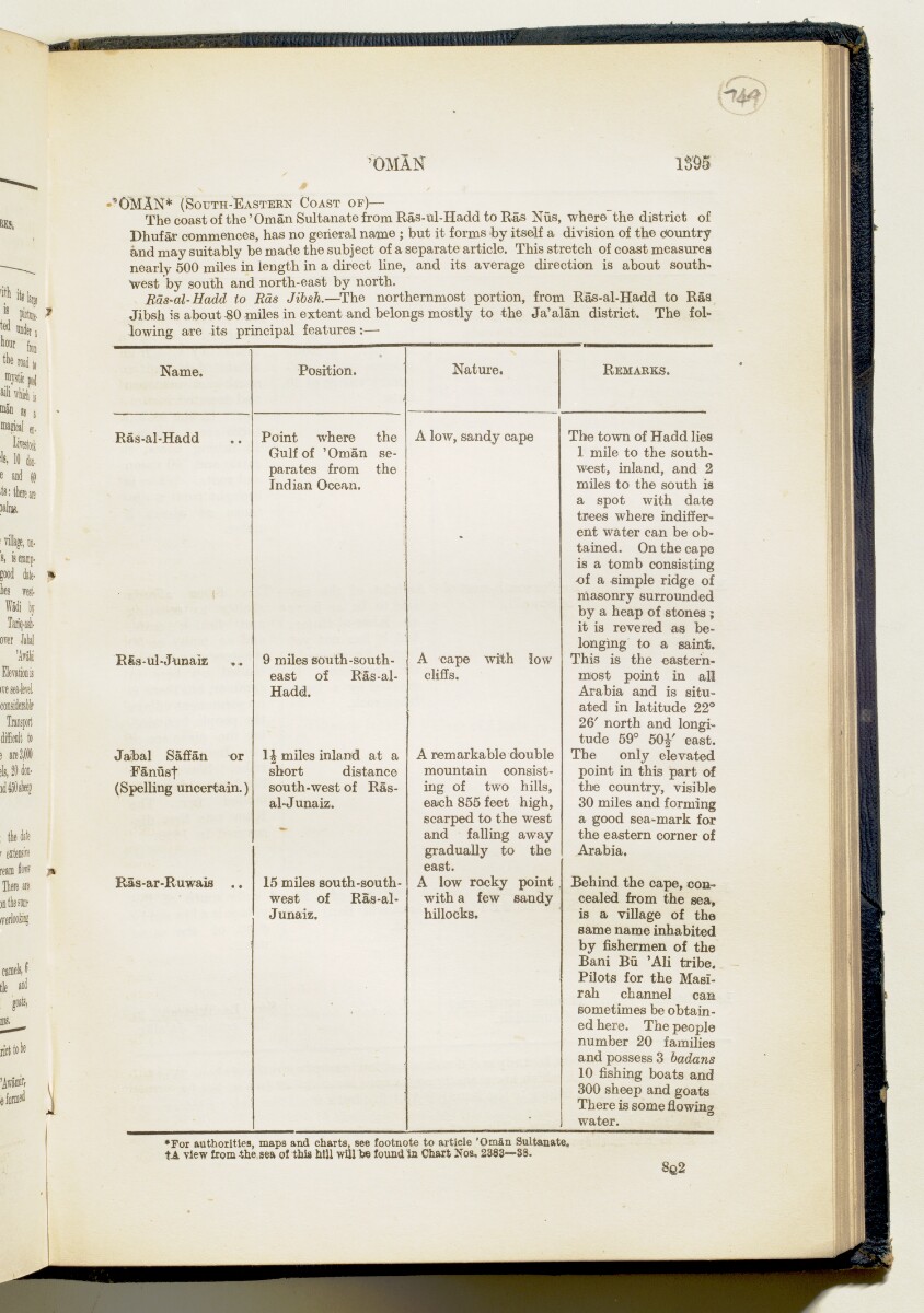
"OMAN* (S ol t th- E astern C oast of)—
The coast of the 'Oman Sultanate from Ras-ul-Hadd to Ras Nus, where the district of
Dhufar commences, has no general name ; but it forms by itself a division of the country
and may suitably be made the subject of a separate article. This stretch of coast measures
nearly 500 miles in length in a direct line, and its average direction is about south
west by south and north-east by north.
Rds-al- Hadd to Kds Jibsh. —The northernmost portion, from Ras-al-Hadd to Ras
Jibsh is about 80 miles in extent and belongs mostly to the Ja'alan district. The fol
lowing are its principal features:—
Name.
Ras-al-Hadd
Efes-ul-Junaiz
Jabal Saffan or
Fanusf
(Spelling uncertain.)
Ras-ar-Ruwais
Position.
Point where
Gulf of 'Oman
parates from
Indian Ocean.
the
se-
the
9 miles south-south
east of Ras-al-
Hadd.
lh miles inland at a
short distance
south-west of Ras-
al-J unaiz.
15 miles south-south
west of Ras-al-
Junaiz.
Nature.
R emarks.
A low, sandy cape
A cape with low
cliffs.
A remarkable double
mountain consist
ing of two hills,
each 855 feet high,
scarped to the west
and falling away
gradually to the
east.
A low rocky point
with a few sandy
hillocks.
The town of Hadd lies
1 mile to the south
west, inland, and 2
miles to the south is
a spot with date
trees where indiffer
ent water can be ob
tained. On the cape
is a tomb consisting
of a simple ridge of
masonry surrounded
by a heap of stones ;
it ia revered as be
longing to a saint.
This is the eastern
most point in all
Arabia and is situ
ated in latitude 22°
26' north and longi
tude 59° 50J' east.
The only elevated
point in this part of
the country, visible
30 miles and forming
a good sea-mark for
the eastern corner of
Arabia.
Behind the cape, con
cealed from the sea,
is a village of the
same name inhabited
by fishermen of the
Bani Bu 'Ali tribe.
Pilots for the Masi-
rah channel can
sometimes be obtain
ed here. The people
number 20 families
and possess 3 badans
10 fishing boats and
300 sheep and goats
There is some flowing
water.
*For authorities, maps and charts, see footnote to article 'Oman Sultanate,
tA view from the sea of this hill will be found, ia Chart Nos, 2383—38.
8G2
About this item
- Content
Volume II of III of the Gazetteer of Arabia. The Gazetteer is alphabetically-arranged and this volume contains entries K through to R.
The Gazetteer is an alphabetically-arranged compendium of the tribes, clans and geographical features (including towns, villages, lakes, mountains and wells) of Arabia that is contained within three seperate bound volumes. The entries range from short descriptions of one or two sentences to longer entries of several pages for places such as Iraq and Yemen.
A brief introduction states that the gazetteer was originally intended to deal with the whole of Arabia, "south of a line drawn from the head of the Gulf of 'Aqabah, through Ma'an, to Abu Kamal on the Euphrates, and to include Baghdad and Basrah Wilayats" and notes that before the gazetteer could be completed its publication was postponed and that therefore the three volumes that now form this file simply contain "as much of the MSS. [manuscript] as was ready at the time". It further notes that the contents have not been checked.
- Extent and format
- 1 volume (341 folios)
- Physical characteristics
Foliation: This volume's foliation system is circled in pencil, in the top right corner of the recto The front of a sheet of paper or leaf, often abbreviated to 'r'. of each folio.
- Written in
- English in Latin script View the complete information for this record
Use and share this item
- Share this item
'Gazetteer of Arabia Vol. II' [1395] (456/688), British Library: India Office Records and Private Papers, IOR/L/MIL/17/16/2/2, in Qatar Digital Library <https://www.qdl.qa/archive/81055/vdc_100023727634.0x000037> [accessed 23 April 2024]
https://www.qdl.qa/en/archive/81055/vdc_100023727634.0x000037
Copy and paste the code below into your web page where you would like to embed the image.
<meta charset="utf-8"><a href="https://www.qdl.qa/en/archive/81055/vdc_100023727634.0x000037">'Gazetteer of Arabia Vol. II' [‎1395] (456/688)</a> <a href="https://www.qdl.qa/en/archive/81055/vdc_100023727634.0x000037"> <img src="https://iiif.qdl.qa/iiif/images/81055/vdc_100023486173.0x000001/IOR_L_MIL_17_16_2_2_0454.jp2/full/!280,240/0/default.jpg" alt="" /> </a>
This record has a IIIF manifest available as follows. If you have a compatible viewer you can drag the icon to load it.https://www.qdl.qa/en/iiif/81055/vdc_100023486173.0x000001/manifestOpen in Universal viewerOpen in Mirador viewerMore options for embedding images
Copyright: How to use this content
- Reference
- IOR/L/MIL/17/16/2/2
- Title
- 'Gazetteer of Arabia Vol. II'
- Pages
- front, back, spine, edge, head, tail, front-i, i-r:ii-v, 975:1092, 1092a:1092f, 1093:1110, 1110a:1110f, 1111:1328, 1328a:1328f, 1329:1386, 1386a:1386f, 1387:1446, 1446a:1446f, 1447:1448, 1448a:1448f, 1449:1542, 1542a:1542f, 1543:1600, iii-r:vi-v, back-i
- Author
- East India Company, the Board of Control, the India Office, or other British Government Department
- Usage terms
- Open Government Licence