!['Gazetteer of Arabia Vol. I' [‎793] (848/1050)](https://iiif.qdl.qa/iiif/images/81055/vdc_100023486087.0x000001/IOR_L_MIL_17_16_2_1_0848.jp2/full/!1200,1200/0/default.jpg "'Gazetteer of Arabia Vol. I' [‎793] (848/1050)")
'Gazetteer of Arabia Vol. I' [793] (848/1050)
The record is made up of 1 volume (523 folios). It was created in 1917. It was written in English. The original is part of the British Library: India Office The department of the British Government to which the Government of India reported between 1858 and 1947. The successor to the Court of Directors. Records and Private Papers Documents collected in a private capacity. .
Transcription
This transcription is created automatically. It may contain errors.
HAU—HAU
HAURIYAH—
See Aden Protectorate.
HAUSA—
A well lying in a valley of the same name and surrounded by steep hills in Jabal
Tubayk, between Batn-al-Ghul, on the Hejaz Railway, and the western edge of the
great Nafad desert. This well, which belongs to the Shararat tribe, is about 40 feet
deep and contains a limited supply of excellent water.— [Carruthers, 1909.)
HAUSHABI—
See Aden Protectorate.
HAUSINI—
The singular form of Hawasinah (<?. v.), a Hinawi tribe of the 'Oman Sultanate.
IIAUTA—
See Aden Protectorate,
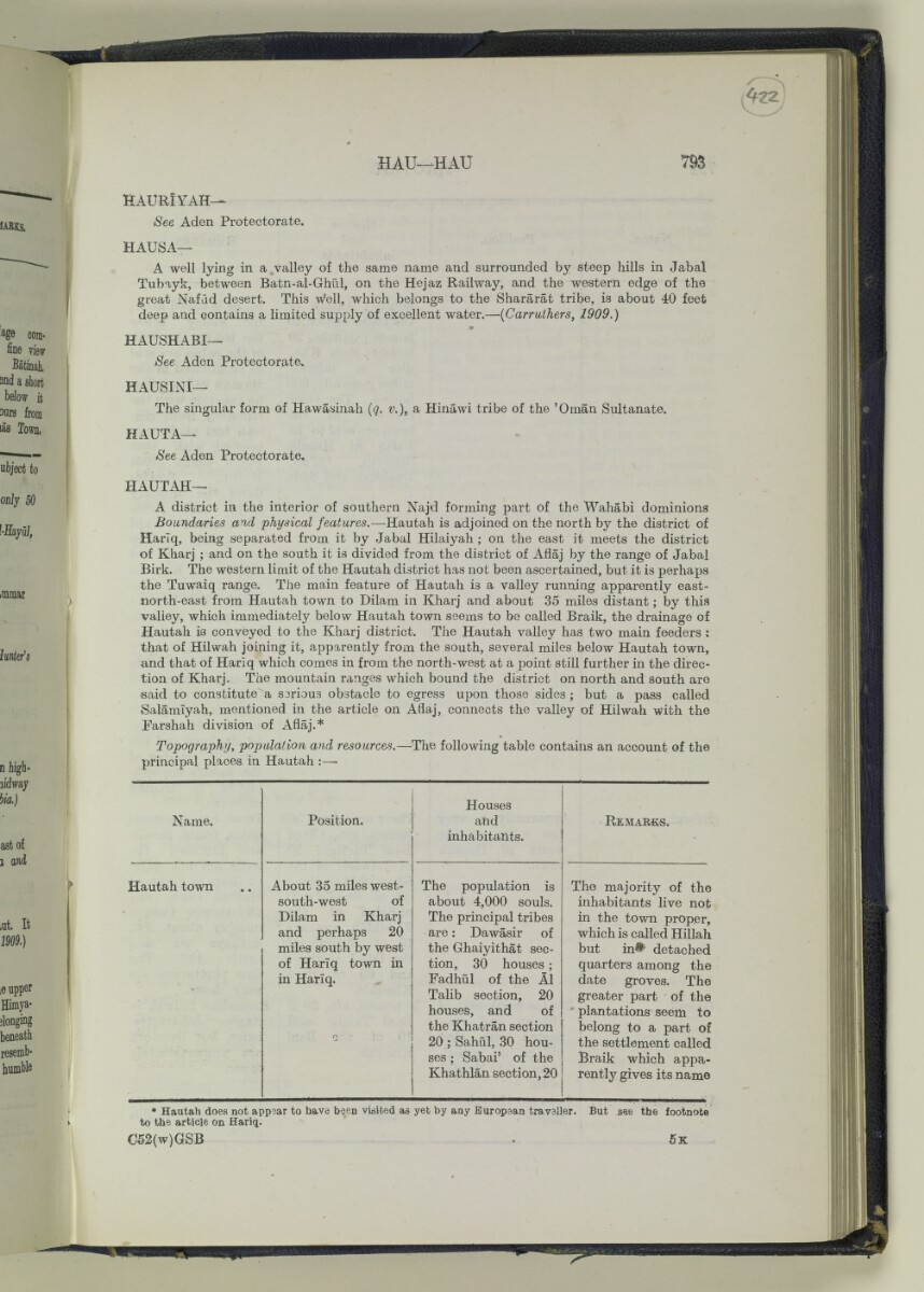
HAUTAH—
A district in the interior of southern Najd forming part of the Wahabi dominions
Boundaries and physical features. —Hautah is adjoined on the north by the district of
Harlq, being separated from it by Jabal Hilaiyah ; on the east it meets the district
of Kharj ; and on the south it is divided from the district of Aflaj by the range of Jabal
Birk. The western limit of the Hautah district has not been ascertained, but it is perhaps
the Tuwaiq range. The main feature of Hautah is a valley running apparently east-
north-east from Hautah town to Dilam in Kharj and about 35 miles distant; by this
valley, which immediately below Hautah town seems to be called Braik, the drainage of
Hautah is conveyed to the Kharj district. The Hautah valley has two main feeders :
that of Hilwah joining it, apparently from the south, several miles below Hautah town,
and that of Hariq which comes in from the north-west at a point still further in the direc
tion of Kharj. The mountain ranges which bound the district on north and south are
said to constitute a s3riou3 obstacle to egress upon those sides ; but a pass called
8alamiyah, mentioned in the article on Afiaj, connects the valley of Hilwah with the
Farshah division of Afiaj.*
Topography, population and resources. —The following table contains an account of the
principal places in Hautah :—-
Name.
Hautah town
Position.
About 35 miles west-
south-west of
Dilam in Kharj
and perhaps 20
miles south by west
of Harlq town in
in Hariq.
Houses
and
inhabitants.
The population is
about 4,000 souls.
The principal tribes
are: Dawasir of
the Ghaiyithat sec
tion, 30 houses ;
Fadhul of the A1
Talib section, 20
houses, and of
the Khatran section
20 ; Sahul, 30 hou
ses ; Sabai' of the
Khathlan section, 20
R emarks.
The majority of the
inhabitants live not
in the town proper,
which is called Hillah
but in^ detached
quarters among the
date groves. The
greater part of the
plantations seem to
belong to a part of
the settlement called
Braik which appa
rently gives its name
* Hautah does not appear to have been visited
to the article on Hariq.
G52(w)GSB
yet by any Europaan travaller. But see the footnote
About this item
- Content
Volume I of III of the Gazetteer of Arabia. The Gazetteer is alphabetically-arranged and this volume contains entries A through to J.
The Gazetteer is an alphabetically-arranged compendium of the tribes, clans and geographical features (including towns, villages, lakes, mountains and wells) of Arabia that is contained within three seperate bound volumes. The entries range from short descriptions of one or two sentences to longer entries of several pages for places such as Iraq and Yemen.
A brief introduction states that the gazetteer was originally intended to deal with the whole of Arabia, "south of a line drawn from the head of the Gulf of 'Aqabah, through Ma'an, to Abu Kamal on the Euphrates, and to include Baghdad and Basrah Wilayats" and notes that before the gazetteer could be completed its publication was postponed and that therefore the three volumes that now form this file simply contain "as much of the MSS. [manuscript] as was ready at the time". It further notes that the contents have not been checked.
- Extent and format
- 1 volume (523 folios)
- Physical characteristics
Foliation: This volume's foliation system is circled in pencil, in the top right corner of the recto The front of a sheet of paper or leaf, often abbreviated to 'r'. of each folio.
- Written in
- English in Latin script View the complete information for this record
Use and share this item
- Share this item
'Gazetteer of Arabia Vol. I' [793] (848/1050), British Library: India Office Records and Private Papers, IOR/L/MIL/17/16/2/1, in Qatar Digital Library <https://www.qdl.qa/archive/81055/vdc_100023909215.0x000031> [accessed 20 April 2024]
https://www.qdl.qa/en/archive/81055/vdc_100023909215.0x000031
Copy and paste the code below into your web page where you would like to embed the image.
<meta charset="utf-8"><a href="https://www.qdl.qa/en/archive/81055/vdc_100023909215.0x000031">'Gazetteer of Arabia Vol. I' [‎793] (848/1050)</a> <a href="https://www.qdl.qa/en/archive/81055/vdc_100023909215.0x000031"> <img src="https://iiif.qdl.qa/iiif/images/81055/vdc_100023486087.0x000001/IOR_L_MIL_17_16_2_1_0848.jp2/full/!280,240/0/default.jpg" alt="" /> </a>
This record has a IIIF manifest available as follows. If you have a compatible viewer you can drag the icon to load it.https://www.qdl.qa/en/iiif/81055/vdc_100023486087.0x000001/manifestOpen in Universal viewerOpen in Mirador viewerMore options for embedding images
Copyright: How to use this content
- Reference
- IOR/L/MIL/17/16/2/1
- Title
- 'Gazetteer of Arabia Vol. I'
- Pages
- front, back, spine, edge, head, tail, front-i, i-r:iv-v, 1:312, 312a:312d, 313:456, 456a:456f, 457:460, 460a:460f, 461:572, 572a:572f, 573:586, 586a:586f, 587:634, 634a:634f, 635:662, 662a:662f, 663:858, 858a:858f, 859:910, 910a:910f, 911:974, v-r:viii-v, back-i
- Author
- East India Company, the Board of Control, the India Office, or other British Government Department
- Usage terms
- Open Government Licence