!['ROUTES IN PERSIA, Section 1.' [‎27r] (58/416)](https://iiif.qdl.qa/iiif/images/81055/vdc_100000001491.0x000111/Mss Eur F111_369_0058.jp2/full/!1200,1200/0/default.jpg "'ROUTES IN PERSIA, Section 1.' [‎27r] (58/416)")
'ROUTES IN PERSIA, Section 1.' [27r] (58/416)
The record is made up of 1 volume (206 folios). It was created in 1898. It was written in English. The original is part of the British Library: India Office The department of the British Government to which the Government of India reported between 1858 and 1947. The successor to the Court of Directors. Records and Private Papers Documents collected in a private capacity. .
Transcription
This transcription is created automatically. It may contain errors.
Pip^^Ichan,of^hich^are^merrmRes!^*' ^ BaSma "’
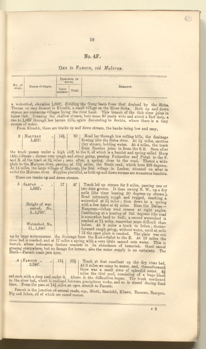
19
No. 4F.
Geh to Fanoch, via Muluran.
No. of
sta^e.
Names of stages.
DlSTiNCB, in
MILES.
Inter
mediate.
Total.
Rbmabks.
a watershed, elevation 1,669', dividing the <3nng basin from that drained by the Sirha.
Thence an easy descent to Khushk, a small village on the River Sirha. Both up and down
stream are numerous villages lining the river bank. This branch of the Geh river joins in
below Geh. Crossing the shallow stream, here some 50 yards wide and about a foot deep, a
rise to 1,665' through low barren hills, again descending to Sorbin, where there is a tiny
stream of water.
From Khushk, there are tracks up and down stream, the banks being low and easy.
Maluban
1,421'.
14i
the track passes under a
30
Road lay through low rolling hills, the drainage
flowing into the Sirha river. At 1£ miles, another
tiny stream, holding water. At 4 miles, the track
from Bandan joins in from the S. E. Soon after
_ - high cliff, to the S. of which is a hamlet and spring called Harp
(Ab)-i-Dozan ; thence very rough and stony going, passing Puttandur and Putab to the S.
and N. of the track at 9 1 miles ; soon after, a spring, close to the road. Thence a wide*
plain to the Maluran river, passing at IO 5 miles, the Binth road, which bore 268 deo-rees.
At 11 miles, the large village of Maluran, the first village in Lashar, situated on what is
called the Maluran river. Supplies plentiful, as both up and down stream are numerous hamlets.
There are tracks up and down stream.
Track led up stream for 2 miles, passing one or
two date groves. It then swung N. W., up a dry
nala (the river bearing 90 degrees up stream).
Road extremely rough and rugged, reaching a*
watershed at 5| miles ; then down to a spring
with a few dates at 6 £ miles. Here the Dahan—
Nasperan—Ichan road crosses at right angles.
Continuing at a bearing of 341 degrees (the road
is somewhat hard to find), a second watershed is
reached at 7| miles, somewhat more difficult than
before. At 8 miles a track to Ichan; thence
forward rough going, without water, until at mile
, , , , , 12 the open plain is reached. The plain was cut
up by huge watercourses, the drainage from the Kuh-i-Safed to the E. At 15 miles the
river bed is reached, and at 17 miles a spring with a very little second rate water. This is
Sartab, whose redeeming feature consists in its abundance of tamarisk. Good camel
”L £ r se ,,,t hor8eSi al80the water su ^ is
Sabtab
1,522'.
17
47
Height of wat
ershed, No.
I., 1,788'.
Watershed, No.
II., 1,850'.
Fanoch
2,386'.
15o 62£ Track at first excellent up the dry river bed.
At 3 miles we came to water, and, thenceforward*
there was a small river of splendid water. 41
red rock with a deep pool under it. Above it the difficdfie^begaT^The track ^Tntinu^d
tLe he b +h ’ whlC Vi ^ clo . s 1 ed between precipitous rocks, and so is closed during fl 00 d
time. From the pass at 14| miles an open stretch to Fanoch. 0 11 d
About this item
- Content
The publication, Routes in Persia, Section I was compiled in the Intelligence Branch of the Quarter-Master Gerneral's Department in India and was published by the Office of the Superintendent of Government Printing, India, Calcutta: 1898.
Section I contains all the routes which commence from the Persian Gulf The historical term used to describe the body of water between the Arabian Peninsula and Iran. littoral and extending to a line drawn from Burajird [Borūjerd], through Isfahan [Eşfahān], Yazd, Karman [Kermān], Khabis [Khabīş], Neh to Lash Juwain [Lāsh-e Juwayn]; the routes have been arranged within the volume by starting from the sea base of the Persian Gulf The historical term used to describe the body of water between the Arabian Peninsula and Iran. and working up towards the line described.
For each route described the previous authorities, such as publications and accounts of journeys, are given, along with the following details:
- Names of stages: towns and villages which act as stopping points along the route;
- The distance in miles from the previous stage of the route;
- The total distance in miles for that route up to that stage;
- Remarks: including geographical information; details on smaller settlements; sacred places; condition of roads; access to water; other roads and routes.
The volume also includes two appendices which contain details of other routes for which the information was received too late to be included in the main body of the volume.
An ink stamp on the front cover records the confidential nature of the publication and that it was being transmitted for the information of His Excellency the Viceroy (Victor Alexander Bruce, 9th Earl of Elgin and 16th Earl of Kincardine) only.
The inside front and back covers have pockets containing index maps of the routes described in the volume.
- Extent and format
- 1 volume (206 folios)
- Arrangement
Folios 6-10 consist of an alphabetical index to names of places featured in the volume, excluding those places which appear in appendix II. Folios 11-17 are an alphabetical cross-index of the routes featured in the volume, again excluding those routes which appear in appendix II.
- Physical characteristics
Foliation: The foliation sequence commences at the front cover, and terminates at the inside back cover; these numbers are written in pencil, are circled, and are located in the top right corner of the recto The front of a sheet of paper or leaf, often abbreviated to 'r'. side of each folio. The volume aso contains an original printed pagination sequence.
- Written in
- English in Latin script View the complete information for this record
Use and share this item
- Share this item
'ROUTES IN PERSIA, Section 1.' [27r] (58/416), British Library: India Office Records and Private Papers, Mss Eur F111/369, in Qatar Digital Library <https://www.qdl.qa/archive/81055/vdc_100025705310.0x00003b> [accessed 24 April 2024]
https://www.qdl.qa/en/archive/81055/vdc_100025705310.0x00003b
Copy and paste the code below into your web page where you would like to embed the image.
<meta charset="utf-8"><a href="https://www.qdl.qa/en/archive/81055/vdc_100025705310.0x00003b">'ROUTES IN PERSIA, Section 1.' [‎27r] (58/416)</a> <a href="https://www.qdl.qa/en/archive/81055/vdc_100025705310.0x00003b"> <img src="https://iiif.qdl.qa/iiif/images/81055/vdc_100000001491.0x000111/Mss Eur F111_369_0058.jp2/full/!280,240/0/default.jpg" alt="" /> </a>
This record has a IIIF manifest available as follows. If you have a compatible viewer you can drag the icon to load it.https://www.qdl.qa/en/iiif/81055/vdc_100000001491.0x000111/manifestOpen in Universal viewerOpen in Mirador viewerMore options for embedding images
Copyright: How to use this content
- Reference
- Mss Eur F111/369
- Title
- 'ROUTES IN PERSIA, Section 1.'
- Pages
- front, back, spine, edge, head, tail, front-i, 2r:205v, back-i
- Author
- East India Company, the Board of Control, the India Office, or other British Government Department
- Usage terms
- Open Government Licence