!['ROUTES IN PERSIA, Section 1.' [‎117v] (239/416)](https://iiif.qdl.qa/iiif/images/81055/vdc_100000001491.0x000111/Mss Eur F111_369_0239.jp2/full/!1200,1200/0/default.jpg "'ROUTES IN PERSIA, Section 1.' [‎117v] (239/416)")
'ROUTES IN PERSIA, Section 1.' [117v] (239/416)
The record is made up of 1 volume (206 folios). It was created in 1898. It was written in English. The original is part of the British Library: India Office The department of the British Government to which the Government of India reported between 1858 and 1947. The successor to the Court of Directors. Records and Private Papers Documents collected in a private capacity. .
Transcription
This transcription is created automatically. It may contain errors.
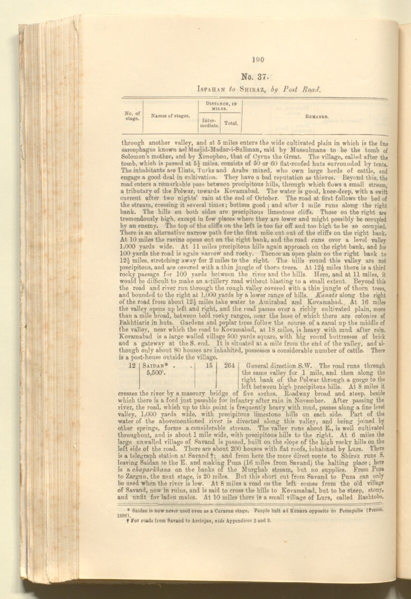
190
No. 37.
Isfahan to Shiraz, by Post RoaJ.
Distaitck, in
^
No. of
stage.
MILKS.
Names of stages.
Inter
mediate.
Total.
Remarks.
through another valley, and at 5 miles enters the wide cultivated plain in which is the fine
sarcophagus known as| JVlasjid-jVladar-i-Suliman, raid by Mussulmans to be the tomb of
Solomon’s mother, and by Xenophon, that of Cyrus the Great. The village, called after the
tomb, which is passed at 5^ miles, consists of 50 or 60 flat-roofed huts surrounded by tents.
The inhabitants are Iliats, Turks and Arabs mixed, who own large herds of cattle, and
engage a good deal in cultivation. They have a bad reputation as thieves. Beyond this, the
road enters a remarkable pass between precipitous hills, through which flows a small stream,
a tributary of the Polwar, towards Kovamabad. The water is good, knee-deep, with a swift
current after two nights’ rain at the end of October. The road at first follows the bed of
the stream, crossing it several times; bottom good ; and after 1 mile runs along the right
bank. The hills on both sides are precipitous limestone cliff’s. Those on the right are
tremendously high, except in few places where they are lower and might possibly be occupied
by an enemy. The top of the cliffs on the left is too far off and too high to be so occupied.
There is an alternative narrow path for the first mile cut out of the cliffs on the right bank.
At 10 miles the ravine opens out on the right bank, and the road runs over a level valley
1,000 yards wide. At 11 miles precipitous hills again approach on the right bank, and for
100 yards the road is again narrow and rocky. Thence an open plain on the right bank to
12^ miles, stretching away for 2 miles to the right. The hills round this valley are not
precipitous, and are covered with a thin jungle of thorn trees. At 12£ miles there is a third
rocky passage for 100 yards between the river and the hills. Here, and at 11 miles, it
would be difficult to make an artillery road without blasting to a small extent. Beyond this
the road and river run through the rough valley covered with a thin jungle of thorn trees,
and bounded to the right at 1,000 yards by a lower range of hills. Kanats along the right
of the road from about 12^ miles take water to Amirabad and Kovamabad. At 16 miles
the valley opens up left and right, and the road passes over a richly cultivated plain, more
than a mile broad, between bold rooky ranges, near the base of which there are colonies of
Bakhtiaris in huts. Gardens and poplar trees follow the course of a canal up the middle of
the valley, near which the road to Kovamabad, at 18 miles, is heavy with mud after rain.
Kovamabad is a large walled village 500 yards square, with big round buttresses of brick
and a gateway at the S. end. It is situated at a mile from the end of the valley, and al
though only about 80 houses are inhabited, possesses a considerable number of cattle. There
is a post-house outside the village.
12
Saidan* .
15
264
5,500'.
General direction S.W. The road rnns through
the same valley for 1 mile, and then along the
right bank of the Polwar through a gorge to the
left between high precipitous hills. At 8 miles it
crosses the river by a masonry bridge of five arches. Roadway broad and steep, beside
which there is a ford just passable for infantry after rain in November. After passing the
river, the road, which up to this point is frequently heavy with mud, passes along a fine level
valley, 1,000 yards wide, with precipitous limestone hills on each side. Part of the
water of the abovementioned river is diverted along this valley, and being joined by
other springs, forms a considerable stream. The valley runs about E., is well cultivated
throughout, and is about 1 mile wide, with precipitous hills to the right. At 6 miles the
large unwalled village of Savand is passed, built on the slope of the high rocky hills on the
left side of the road. There are about 200 houses with flat roofs, inhabited by Lurs. There
is a telegraph station at Savand f; and from here the more direct route to Shiraz runs S.
leaving Saidan to the E. and making Puza (16 miles from Savand) the halting place ; here
is a chaparlchana on the banks of the Murghab stream, but no supplies. From Puza
to Zargun, the next stage, is 20 miles. But this short cut from Savand to Pnza can only
be used when the river is low. At 8 miles a road on the left comes from the old village
of Savand, now in ruins, and is said to cross the hills to Kovamabad, but to be steep, stony,
and unfit for laden mules. At 10 miles there is a small village of Lurs, called Rashtoba,
* Saidan is now never used even as a Caravan stage. People halt at Kenara opposite to Persepolis (Preece.
1896).
t For roads from Savand to Arsinjan, vide Appendices 2 and 3.
About this item
- Content
The publication, Routes in Persia, Section I was compiled in the Intelligence Branch of the Quarter-Master Gerneral's Department in India and was published by the Office of the Superintendent of Government Printing, India, Calcutta: 1898.
Section I contains all the routes which commence from the Persian Gulf The historical term used to describe the body of water between the Arabian Peninsula and Iran. littoral and extending to a line drawn from Burajird [Borūjerd], through Isfahan [Eşfahān], Yazd, Karman [Kermān], Khabis [Khabīş], Neh to Lash Juwain [Lāsh-e Juwayn]; the routes have been arranged within the volume by starting from the sea base of the Persian Gulf The historical term used to describe the body of water between the Arabian Peninsula and Iran. and working up towards the line described.
For each route described the previous authorities, such as publications and accounts of journeys, are given, along with the following details:
- Names of stages: towns and villages which act as stopping points along the route;
- The distance in miles from the previous stage of the route;
- The total distance in miles for that route up to that stage;
- Remarks: including geographical information; details on smaller settlements; sacred places; condition of roads; access to water; other roads and routes.
The volume also includes two appendices which contain details of other routes for which the information was received too late to be included in the main body of the volume.
An ink stamp on the front cover records the confidential nature of the publication and that it was being transmitted for the information of His Excellency the Viceroy (Victor Alexander Bruce, 9th Earl of Elgin and 16th Earl of Kincardine) only.
The inside front and back covers have pockets containing index maps of the routes described in the volume.
- Extent and format
- 1 volume (206 folios)
- Arrangement
Folios 6-10 consist of an alphabetical index to names of places featured in the volume, excluding those places which appear in appendix II. Folios 11-17 are an alphabetical cross-index of the routes featured in the volume, again excluding those routes which appear in appendix II.
- Physical characteristics
Foliation: The foliation sequence commences at the front cover, and terminates at the inside back cover; these numbers are written in pencil, are circled, and are located in the top right corner of the recto The front of a sheet of paper or leaf, often abbreviated to 'r'. side of each folio. The volume aso contains an original printed pagination sequence.
- Written in
- English in Latin script View the complete information for this record
Use and share this item
- Share this item
'ROUTES IN PERSIA, Section 1.' [117v] (239/416), British Library: India Office Records and Private Papers, Mss Eur F111/369, in Qatar Digital Library <https://www.qdl.qa/archive/81055/vdc_100025705311.0x000028> [accessed 25 April 2024]
https://www.qdl.qa/en/archive/81055/vdc_100025705311.0x000028
Copy and paste the code below into your web page where you would like to embed the image.
<meta charset="utf-8"><a href="https://www.qdl.qa/en/archive/81055/vdc_100025705311.0x000028">'ROUTES IN PERSIA, Section 1.' [‎117v] (239/416)</a> <a href="https://www.qdl.qa/en/archive/81055/vdc_100025705311.0x000028"> <img src="https://iiif.qdl.qa/iiif/images/81055/vdc_100000001491.0x000111/Mss Eur F111_369_0239.jp2/full/!280,240/0/default.jpg" alt="" /> </a>
This record has a IIIF manifest available as follows. If you have a compatible viewer you can drag the icon to load it.https://www.qdl.qa/en/iiif/81055/vdc_100000001491.0x000111/manifestOpen in Universal viewerOpen in Mirador viewerMore options for embedding images
Copyright: How to use this content
- Reference
- Mss Eur F111/369
- Title
- 'ROUTES IN PERSIA, Section 1.'
- Pages
- front, back, spine, edge, head, tail, front-i, 2r:205v, back-i
- Author
- East India Company, the Board of Control, the India Office, or other British Government Department
- Usage terms
- Open Government Licence