!['SKETCH MAP OF COUNTRY IN NEIGHBOURHOOD OF HAWIZEH' [‎23v] (2/2)](https://iiif.qdl.qa/iiif/images/81055/vdc_100000000419.0x00009f/IOR_L_PS_10_266_0056.jp2/full/!1200,1200/0/default.jpg "'SKETCH MAP OF COUNTRY IN NEIGHBOURHOOD OF HAWIZEH' [‎23v] (2/2)")
'SKETCH MAP OF COUNTRY IN NEIGHBOURHOOD OF HAWIZEH' [23v] (2/2)
The record is made up of 1 map. It was created in Jul 1912. It was written in English. The original is part of the British Library: India Office The department of the British Government to which the Government of India reported between 1858 and 1947. The successor to the Court of Directors. Records and Private Papers Documents collected in a private capacity. .
About this item
- Content
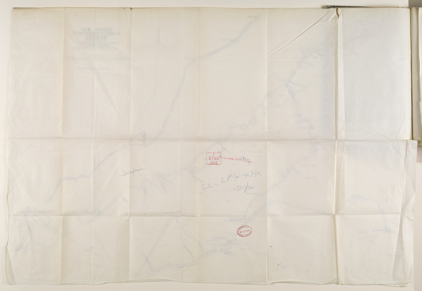
Sketch map of the area surrounding Hawizeh [Hoveyzah].
The map was executed by overseer S Firuz Bakht under the supervision of Lieutenant Colonel Arnold Talbot Wilson, CMG, Political Department.
- Extent and format
- 1 map
- Area map covers
- Map loading...
- Scale
- 1:1
- Scale designator
- Horizontal
- Orientation
- North
- Degree coordinates
- Top-left: 31° 31' 7.54" N, 47° 57' 24.3" E
Top-right: 31° 31' 7.54" N, 48° 7' 40.36" E
Bottom-left: 31° 21' 14.09" N, 47° 57' 24.3" E
Bottom-right: 31° 21' 14.09" N, 48° 7' 40.36" E - Physical characteristics
Dimensions: 680mm x 1010mm
Materials: 1 paper folio
- Written in
- English in Latin script View the complete information for this record
Use and share this item
- Share this item
'SKETCH MAP OF COUNTRY IN NEIGHBOURHOOD OF HAWIZEH' [23v] (2/2), British Library: India Office Records and Private Papers, IOR/L/PS/10/266, f 23, in Qatar Digital Library <https://www.qdl.qa/archive/81055/vdc_100036171270.0x000038> [accessed 17 April 2024]
https://www.qdl.qa/en/archive/81055/vdc_100036171270.0x000038
Copy and paste the code below into your web page where you would like to embed the image.
<meta charset="utf-8"><a href="https://www.qdl.qa/en/archive/81055/vdc_100036171270.0x000038">'SKETCH MAP OF COUNTRY IN NEIGHBOURHOOD OF HAWIZEH' [‎23v] (2/2)</a> <a href="https://www.qdl.qa/en/archive/81055/vdc_100036171270.0x000038"> <img src="https://iiif.qdl.qa/iiif/images/81055/vdc_100000000419.0x00009f/IOR_L_PS_10_266_0056.jp2/full/!280,240/0/default.jpg" alt="" /> </a>
This record has a IIIF manifest available as follows. If you have a compatible viewer you can drag the icon to load it.https://www.qdl.qa/en/iiif/81055/vdc_100000000419.0x00009f/manifestOpen in Universal viewerOpen in Mirador viewerMore options for embedding images
Copyright: How to use this content
- Reference
- IOR/L/PS/10/266, f 23
- Title
- 'SKETCH MAP OF COUNTRY IN NEIGHBOURHOOD OF HAWIZEH'
- Pages
- 23r:23v
- Author
- East India Company, the Board of Control, the India Office, or other British Government Department
- Usage terms
- Open Government Licence