![Map of the Ruba'-al-Khali [‎311v] (2/2)](https://iiif.qdl.qa/iiif/images/81055/vdc_100000000555.0x0002a3/IOR_L_PS_12_2137_0638.jp2/full/!1200,1200/0/default.jpg "Map of the Ruba'-al-Khali [‎311v] (2/2)")
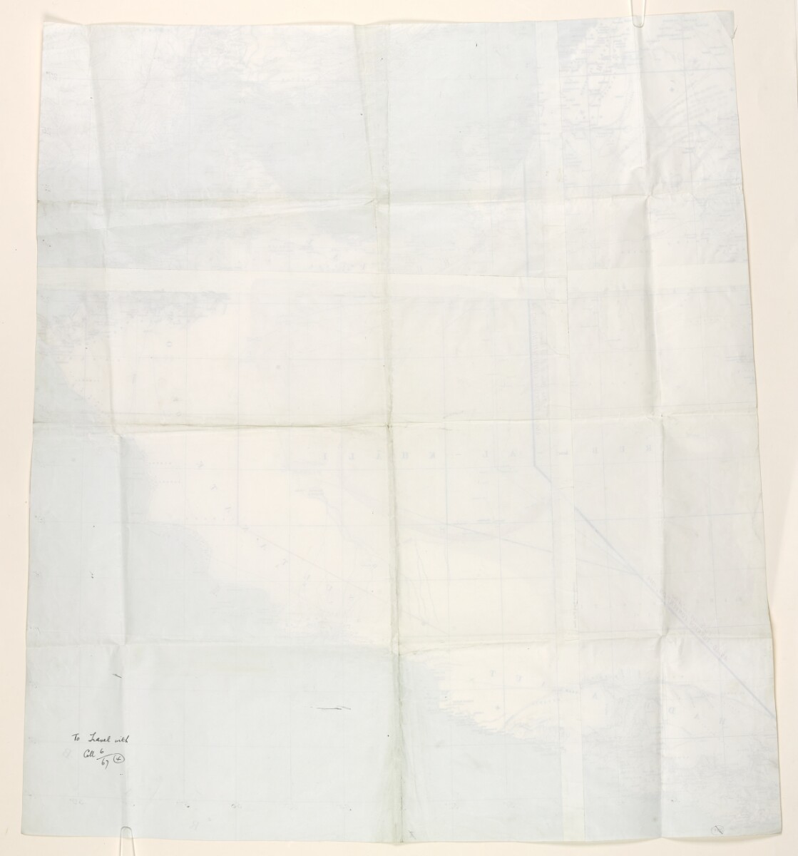
Map of the Ruba'-al-Khali [311v] (2/2)
The record is made up of 1 map. It was created in 1930s. It was written in English. The original is part of the British Library: India Office The department of the British Government to which the Government of India reported between 1858 and 1947. The successor to the Court of Directors. Records and Private Papers Documents collected in a private capacity. .
About this item
- Content
Map depicting the Ruba'-al-Khali and the surrounding region. The map indicates settlements, hydrology, and boundaries and provides some indication of relief. The map features additional lines marked in coloured ink, crayon, and pencil, which represent possible boundary lines for eastern and south-eastern Saudi Arabia.
Two joined lines in blue and violet ink represent boundaries established in the Anglo-Ottoman Conventions of 1913 and 1914. Lines in green and brown crayon represent boundary lines proposed by the British to Ibn Saud [‘Abd al-‘Azīz bin ‘Abd al-Raḥmān bin Fayṣal Āl Sa‘ūd]. A line in red crayon marks Ibn Saud's reported interpretation of his country's eastern and south-eastern boundary, and lines in pencil show other prospective boundaries considered by the British Government.
- Extent and format
- 1 map
- Area map covers
- Map loading...
- Scale
- 1:2,060,000 approximately
- Scale designator
- Horizontal
- Orientation
- North
- Degree coordinates
- Top-left: 27° 58' 48" N, 46° 11' 24" E
Top-right: 27° 58' 48" N, 59° 59' 24" E
Bottom-left: 14° 1' 12" N, 46° 11' 24" E
Bottom-right: 14° 1' 12" N, 59° 59' 24" E - Physical characteristics
Materials: Printed in colour on paper, with manuscript additions in coloured ink, pencil, and crayon.
Dimensions: 795 x 710mm.
- Written in
- English in Latin script View the complete information for this record
Use and share this item
- Share this item
Map of the Ruba'-al-Khali [311v] (2/2), British Library: India Office Records and Private Papers, IOR/L/PS/12/2137, f 311, in Qatar Digital Library <https://www.qdl.qa/archive/81055/vdc_100049619518.0x000019> [accessed 16 April 2024]
https://www.qdl.qa/en/archive/81055/vdc_100049619518.0x000019
Copy and paste the code below into your web page where you would like to embed the image.
<meta charset="utf-8"><a href="https://www.qdl.qa/en/archive/81055/vdc_100049619518.0x000019">Map of the Ruba'-al-Khali [‎311v] (2/2)</a> <a href="https://www.qdl.qa/en/archive/81055/vdc_100049619518.0x000019"> <img src="https://iiif.qdl.qa/iiif/images/81055/vdc_100000000555.0x0002a3/IOR_L_PS_12_2137_0638.jp2/full/!280,240/0/default.jpg" alt="" /> </a>
This record has a IIIF manifest available as follows. If you have a compatible viewer you can drag the icon to load it.https://www.qdl.qa/en/iiif/81055/vdc_100000000555.0x0002a3/manifestOpen in Universal viewerOpen in Mirador viewerMore options for embedding images
Copyright: How to use this content
- Reference
- IOR/L/PS/12/2137, f 311
- Title
- Map of the Ruba'-al-Khali
- Pages
- 311r:311v
- Author
- East India Company, the Board of Control, the India Office, or other British Government Department
- Usage terms
- Open Government Licence