!['A MAP OF TURKEY IN ASIA' [‎65v] (2/2)](https://iiif.qdl.qa/iiif/images/81055/vdc_100000000419.0x0001a5/IOR_L_PS_10_526_0136.jp2/full/!1200,1200/0/default.jpg "'A MAP OF TURKEY IN ASIA' [‎65v] (2/2)")
'A MAP OF TURKEY IN ASIA' [65v] (2/2)
The record is made up of 1 map. It was created in 1917. It was written in English. The original is part of the British Library: India Office The department of the British Government to which the Government of India reported between 1858 and 1947. The successor to the Court of Directors. Records and Private Papers Documents collected in a private capacity. .
About this item
- Content
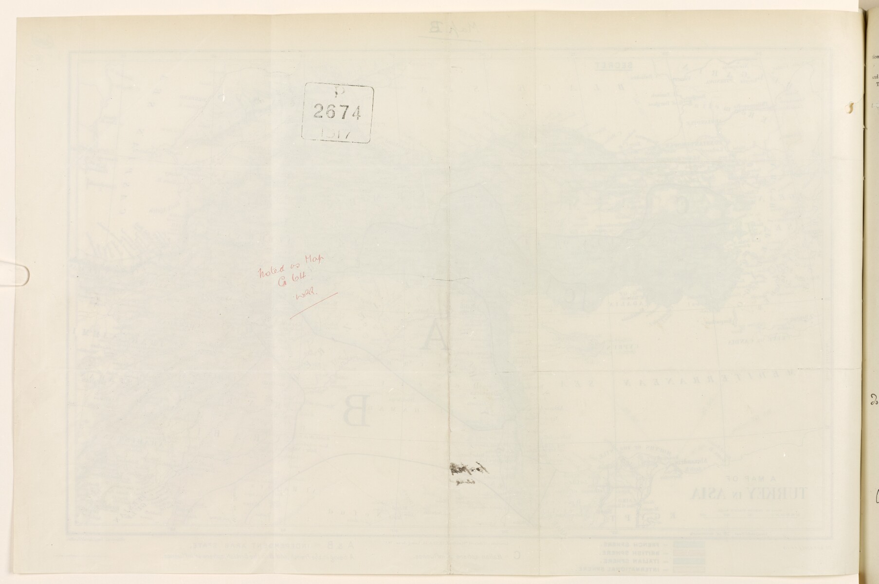
The map shows the Middle East from the head of the Persian Gulf The historical term used to describe the body of water between the Arabian Peninsula and Iran. , to the eastern Mediterranean and the Black Sea, indicating relief, hydrology and settlement. The map has been amended in different colours to indicate French (blue), British (red), Italian (green) spheres of influence, and an International Sphere (light brown). Letters are used to indicate independent Arab states in the French (A) and British (B) spheres of influence. The letter (C) is used to indicate a zone of Italian influence in addition to the area shaded green. This is explained in the key to the map.
The map bears the following reference (25 6/16 5385) F.O. 719.
Scale: 150 statute miles = 35mm.
- Extent and format
- 1 map
- Area map covers
- Map loading...
- Orientation
- North
- Degree coordinates
- Top-left: 43° 22' 12" N, 25° 28' 12" E
Top-right: 43° 22' 12" N, 51° 8' 60" E
Bottom-left: 27° 16' 12" N, 25° 28' 12" E
Bottom-right: 27° 16' 12" N, 51° 8' 60" E - Physical characteristics
Dimensions: 290mm x 330mm
Materials: Printed in colour on paper.
- Written in
- English in Latin script View the complete information for this record
Use and share this item
- Share this item
'A MAP OF TURKEY IN ASIA' [65v] (2/2), British Library: India Office Records and Private Papers, IOR/L/PS/10/526, f 65, in Qatar Digital Library <https://www.qdl.qa/archive/81055/vdc_100054551556.0x000088> [accessed 23 April 2024]
https://www.qdl.qa/en/archive/81055/vdc_100054551556.0x000088
Copy and paste the code below into your web page where you would like to embed the image.
<meta charset="utf-8"><a href="https://www.qdl.qa/en/archive/81055/vdc_100054551556.0x000088">'A MAP OF TURKEY IN ASIA' [‎65v] (2/2)</a> <a href="https://www.qdl.qa/en/archive/81055/vdc_100054551556.0x000088"> <img src="https://iiif.qdl.qa/iiif/images/81055/vdc_100000000419.0x0001a5/IOR_L_PS_10_526_0136.jp2/full/!280,240/0/default.jpg" alt="" /> </a>
This record has a IIIF manifest available as follows. If you have a compatible viewer you can drag the icon to load it.https://www.qdl.qa/en/iiif/81055/vdc_100000000419.0x0001a5/manifestOpen in Universal viewerOpen in Mirador viewerMore options for embedding images
Copyright: How to use this content
- Reference
- IOR/L/PS/10/526, f 65
- Title
- 'A MAP OF TURKEY IN ASIA'
- Pages
- 65r:65v
- Author
- Stanford's Geographical Establishment
- Usage terms
- Public Domain