!['SKETCH MAP To illustrate proposed settlement of Syria - Trans-Jordan Frontier' [‎186v] (2/2)](https://iiif.qdl.qa/iiif/images/81055/vdc_100000000602.0x000186/IOR_L_PS_12_3737_00388.jp2/full/!1200,1200/0/default.jpg "'SKETCH MAP To illustrate proposed settlement of Syria - Trans-Jordan Frontier' [‎186v] (2/2)")
'SKETCH MAP To illustrate proposed settlement of Syria - Trans-Jordan Frontier' [186v] (2/2)
The record is made up of 1 map. It was created in 1931. It was written in English. The original is part of the British Library: India Office The department of the British Government to which the Government of India reported between 1858 and 1947. The successor to the Court of Directors. Records and Private Papers Documents collected in a private capacity. .
About this item
- Content
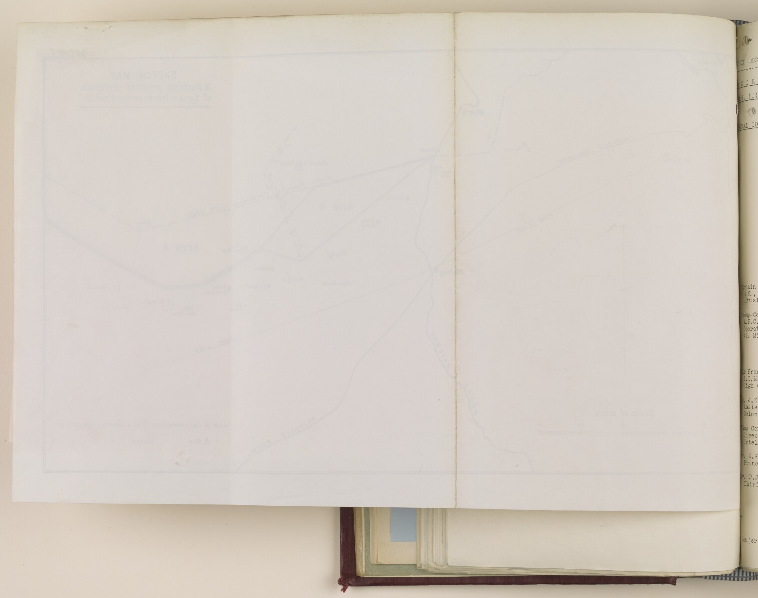
Map showing the border region to the east of the River Jordan and south of the River Yarmuk. The map is marked with the border established by the Anglo-French Convention of 1920, and also shows two alternative concession lines, as well as the route of the Hejaz Railway. The map is marked 'Secret'.
The map was presented to the Committee of Imperial Defence, Standing Ministerial Sub-Committee for Questions Concerning the Middle East, and was approved for submission to the French Government as a basis for negotiation.
- Extent and format
- 1 map
- Area map covers
- Map loading...
- Orientation
- North
- Degree coordinates
- Top-left: 32° 42' 26.64" N, 35° 33' 6.48" E
Top-right: 32° 42' 26.64" N, 36° 26' 30.12" E
Bottom-left: 32° 30' 50.4" N, 35° 33' 6.48" E
Bottom-right: 32° 30' 50.4" N, 36° 26' 30.12" E - Physical characteristics
Materials: printed on paper.
Dimensions: 250 x 410mm, on sheet 280 x 420mm.
- Written in
- English in Latin script View the complete information for this record
Use and share this item
- Share this item
'SKETCH MAP To illustrate proposed settlement of Syria - Trans-Jordan Frontier' [186v] (2/2), British Library: India Office Records and Private Papers, IOR/L/PS/12/2848, f 186, in Qatar Digital Library <https://www.qdl.qa/archive/81055/vdc_100054845815.0x0000ba> [accessed 18 April 2024]
https://www.qdl.qa/en/archive/81055/vdc_100054845815.0x0000ba
Copy and paste the code below into your web page where you would like to embed the image.
<meta charset="utf-8"><a href="https://www.qdl.qa/en/archive/81055/vdc_100054845815.0x0000ba">'SKETCH MAP To illustrate proposed settlement of Syria - Trans-Jordan Frontier' [‎186v] (2/2)</a> <a href="https://www.qdl.qa/en/archive/81055/vdc_100054845815.0x0000ba"> <img src="https://iiif.qdl.qa/iiif/images/81055/vdc_100000000602.0x000186/IOR_L_PS_12_3737_00388.jp2/full/!280,240/0/default.jpg" alt="" /> </a>
This record has a IIIF manifest available as follows. If you have a compatible viewer you can drag the icon to load it.https://www.qdl.qa/en/iiif/81055/vdc_100000000602.0x000186/manifestOpen in Universal viewerOpen in Mirador viewerMore options for embedding images
Copyright: How to use this content
- Reference
- IOR/L/PS/12/2848, f 186
- Title
- 'SKETCH MAP To illustrate proposed settlement of Syria - Trans-Jordan Frontier'
- Pages
- 186r:186v
- Author
- East India Company, the Board of Control, the India Office, or other British Government Department
- Usage terms
- Open Government Licence