![‘Sketch Map of Portion of the Persian Gulf To accompany Captain Douglas’ Report on a journey from India to the Mediterranean.’ [‎138r] (1/2)](https://iiif.qdl.qa/iiif/images/81055/vdc_100000001452.0x0003c2/Mss Eur F111_358_0277.jp2/full/!1200,1200/0/default.jpg "‘Sketch Map of Portion of the Persian Gulf To accompany Captain Douglas’ Report on a journey from India to the Mediterranean.’ [‎138r] (1/2)")
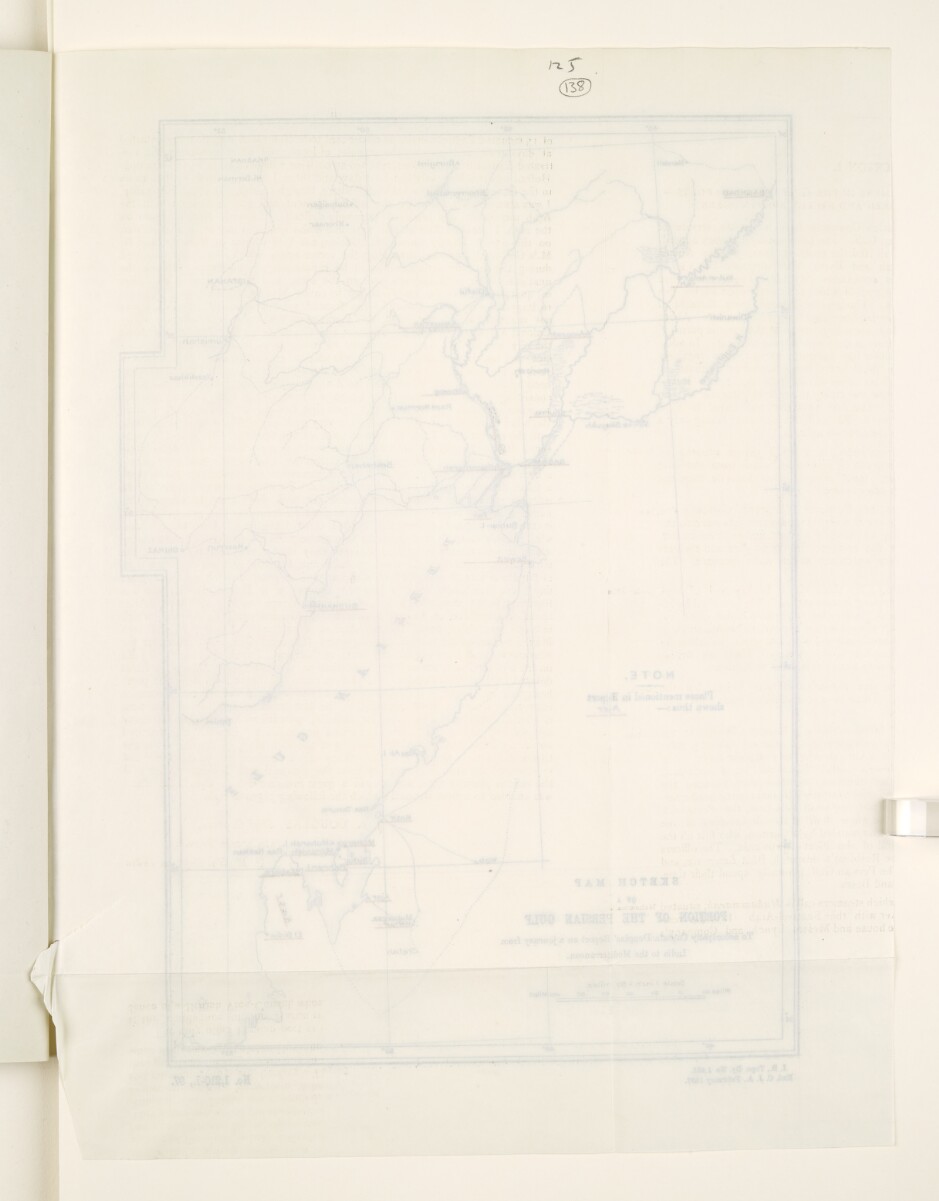
‘Sketch Map of Portion of the Persian Gulf To accompany Captain Douglas’ Report on a journey from India to the Mediterranean.’ [138r] (1/2)
The record is made up of 1 map. It was created in Feb 1897. It was written in English. The original is part of the British Library: India Office The department of the British Government to which the Government of India reported between 1858 and 1947. The successor to the Court of Directors. Records and Private Papers Documents collected in a private capacity. .
About this item
- Content
The map shows part of the Persian Gulf The historical term used to describe the body of water between the Arabian Peninsula and Iran. . It is part of a 'Report on a Journey from India to the Mediterranean viâ the Persian Gulf The historical term used to describe the body of water between the Arabian Peninsula and Iran. , Baghdad and the Euphrates Valley, including a Visit to the Turkish Dependency of El Hasa.' by Captain J A Douglas, Staff Captain, Intelligence Branch, Quarter Master General’s Department in India, 1897. The names of the places mentioned in the Report are underlined in red on the map.
Hydrology is indicated on the map.
The map bears the printing statement ‘I.B. [Intelligence Branch], Topo. Dy. No. 1,858. Exd. C. J. A. February 1897.’ and the reference number ‘No. 1,210-I., 97.’
- Extent and format
- 1 map
- Area map covers
- Map loading...
- Scale
- 1:6,336,000
- Scale designator
- Horizontal
- Orientation
- North
- Degree coordinates
- Top-left: 34° 0' 0" N, 44° 0' 36" E
Top-right: 34° 0' 0" N, 53° 0' 0" E
Bottom-left: 24° 0' 36" N, 44° 0' 36" E
Bottom-right: 24° 0' 36" N, 53° 0' 0" E - Physical characteristics
Materials: Printed on paper
Dimensions: 300 x 211mm, on sheet 364 x 275mm
- Written in
- English in Latin script View the complete information for this record
Use and share this item
- Share this item
‘Sketch Map of Portion of the Persian Gulf To accompany Captain Douglas’ Report on a journey from India to the Mediterranean.’ [138r] (1/2), British Library: India Office Records and Private Papers, Mss Eur F111/358, f 138, in Qatar Digital Library <https://www.qdl.qa/archive/81055/vdc_100069731505.0x00004c> [accessed 25 April 2024]
https://www.qdl.qa/en/archive/81055/vdc_100069731505.0x00004c
Copy and paste the code below into your web page where you would like to embed the image.
<meta charset="utf-8"><a href="https://www.qdl.qa/en/archive/81055/vdc_100069731505.0x00004c">‘Sketch Map of Portion of the Persian Gulf To accompany Captain Douglas’ Report on a journey from India to the Mediterranean.’ [‎138r] (1/2)</a> <a href="https://www.qdl.qa/en/archive/81055/vdc_100069731505.0x00004c"> <img src="https://iiif.qdl.qa/iiif/images/81055/vdc_100000001452.0x0003c2/Mss Eur F111_358_0277.jp2/full/!280,240/0/default.jpg" alt="" /> </a>
This record has a IIIF manifest available as follows. If you have a compatible viewer you can drag the icon to load it.https://www.qdl.qa/en/iiif/81055/vdc_100000001452.0x0003c2/manifestOpen in Universal viewerOpen in Mirador viewerMore options for embedding images
Copyright: How to use this content
- Reference
- Mss Eur F111/358, f 138
- Title
- ‘Sketch Map of Portion of the Persian Gulf To accompany Captain Douglas’ Report on a journey from India to the Mediterranean.’
- Pages
- 138r:138v
- Author
- East India Company, the Board of Control, the India Office, or other British Government Department
- Usage terms
- Open Government Licence