![Map Showing the Boundary of an Area outside Kuwait Territorial Waters [‎366v] (2/2)](https://iiif.qdl.qa/iiif/images/81055/vdc_100000000648.0x0001ee/IOR_L_PS_12_3924_0766.tif .jp2/full/!1200,1200/0/default.jpg "Map Showing the Boundary of an Area outside Kuwait Territorial Waters [‎366v] (2/2)")
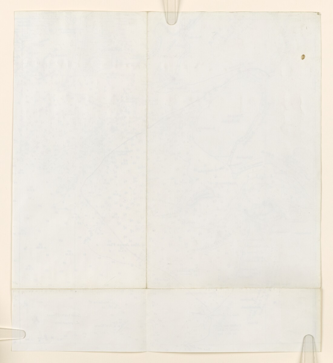
Map Showing the Boundary of an Area outside Kuwait Territorial Waters [366v] (2/2)
The record is made up of 1 map. It was created in 1939. It was written in English. The original is part of the British Library: India Office The department of the British Government to which the Government of India reported between 1858 and 1947. The successor to the Court of Directors. Records and Private Papers Documents collected in a private capacity. .
About this item
- Content
Part of chart 2837B used to indicate an area outside the limit of Kuwait territorial waters (by means of a red line drawn on the map).
Scale 1 inch = 27 miles.
Correspondence from the Kuwait Oil Company to the India Office The department of the British Government to which the Government of India reported between 1858 and 1947. The successor to the Court of Directors. , dated July 1939, including a copy of a letter from Frank Holmes, the London representative of the Ruler of Kuwait, to the Kuwait Oil Company, dated 10 July 1939 (folios 360-364) relates to this map. The map indicates the boundary of an area outside Kuwait territorial waters that was the subject of a proposed oil concession.
- Extent and format
- 1 map
- Area map covers
- Map loading...
- Orientation
- North
- Degree coordinates
- Top-left: 30° 9' 59.4" N, 47° 42' 29.16" E
Top-right: 30° 9' 59.4" N, 49° 7' 1.56" E
Bottom-left: 28° 51' 6.84" N, 47° 42' 29.16" E
Bottom-right: 28° 51' 6.84" N, 49° 7' 1.56" E - Physical characteristics
Materials: printed on paper.
Dimensions: 410 x 370mm.
- Written in
- English in Latin script View the complete information for this record
Use and share this item
- Share this item
Map Showing the Boundary of an Area outside Kuwait Territorial Waters [366v] (2/2), British Library: India Office Records and Private Papers, IOR/L/PS/12/3924, f 366, in Qatar Digital Library <https://www.qdl.qa/archive/81055/vdc_100080590827.0x000089> [accessed 19 April 2024]
https://www.qdl.qa/en/archive/81055/vdc_100080590827.0x000089
Copy and paste the code below into your web page where you would like to embed the image.
<meta charset="utf-8"><a href="https://www.qdl.qa/en/archive/81055/vdc_100080590827.0x000089">Map Showing the Boundary of an Area outside Kuwait Territorial Waters [‎366v] (2/2)</a> <a href="https://www.qdl.qa/en/archive/81055/vdc_100080590827.0x000089"> <img src="https://iiif.qdl.qa/iiif/images/81055/vdc_100000000648.0x0001ee/IOR_L_PS_12_3924_0766.tif .jp2/full/!280,240/0/default.jpg" alt="" /> </a>
This record has a IIIF manifest available as follows. If you have a compatible viewer you can drag the icon to load it.https://www.qdl.qa/en/iiif/81055/vdc_100000000648.0x0001ee/manifestOpen in Universal viewerOpen in Mirador viewerMore options for embedding images
Copyright: How to use this content
- Reference
- IOR/L/PS/12/3924, f 366
- Title
- Map Showing the Boundary of an Area outside Kuwait Territorial Waters
- Pages
- 366r:366v
- Author
- East India Company, the Board of Control, the India Office, or other British Government Department
- Usage terms
- Open Government Licence