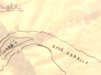
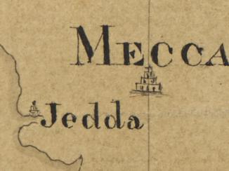
'Map of Maritime Arabia with the opposite Coasts of Africa and Persia'
Mss Eur F126/98


2 items in this record
Search within this record
The record is made up of 1 map. It was created in 1 Mar 1856. It was written in English. The original is part of the British Library: India Office The department of the British Government to which the Government of India reported between 1858 and 1947. The successor to the Court of Directors. Records and Private Papers Documents collected in a private capacity. .
About this record
- Content
Imprint:
Lithographed A lithograph is an image reproduced from a printing plate whose image areas attract ink and non-image areas repel it. in the Chief Engineer's Office by E Huskeljee and E Kumroodeen, Bombay.
Distinctive Features:
Relief shown by hachures Lines drawn on a map to indicate the direction and steepness of slope. .
Below the title note 'reduced in the Quarter Master Generals Office from an Original Map by Colonel T Dickinson, Chief Engineer. Signed Neil Campbell, Lieutenant-Colonel, Acting Quarter Master General'.
A detailed explanation of the various surveys, expeditions and engraved charts used to compile the map from 1819 to 1839 is given along with descriptions of the various routes shown on the map, and others which were referred to in the compiling of this map. The description was compiled by the Chief Engineers Office, Bombay, 4 April 1843.
Those routes represented on the map are as follows: Shows in blue lines the routes of the pilgrims from Medina to Tsha Haffar 35 days journey; the Persian caravan from Bussora to Mecca 30 days journey; and the Indian caravan from Lahsa to Mecca. Shown in red dotted line the route from El Katif to Yamboo as taken by Captain Sadlier in 1819. Coastlines are marked with blue ink and all bodies of water have been shaded in blue.
- Extent and format
- 1 map
- Area map covers
- Map loading...
- Scale
- Scale not given
- Scale designator
- Horizontal
- Orientation
- North
- Degree coordinates
- Top-left: 30° 34' 12" N, 32° 11' 24" E
Top-right: 30° 34' 12" N, 61° 12' 0" E
Bottom-left: 12° 7' 12" N, 32° 11' 24" E
Bottom-right: 12° 7' 12" N, 61° 12' 0" E - Physical characteristics
Dimensions: 522 x 728 mm; on sheet 595 x 925 mm
Condition: The map has incurred some damage from being folded, with some small areas of detail now lacking where the fold lines are.
Foliation: The map has been foliated in the top right hand corner of the folio with a pencil number enclosed in a circle.
- Written in
- English in Latin script
- Type
- Map
Archive information for this record
- Original held at
- British Library: India Office The department of the British Government to which the Government of India reported between 1858 and 1947. The successor to the Court of Directors. Records and Private Papers Documents collected in a private capacity.
- Access conditions
Unrestricted
- Archive reference
- Mss Eur F126/98
- Date(s)
- 1 Mar 1856 (CE, Gregorian)
Access & Reference
History of this record
Related search terms
- Places
- Arabian Peninsula
- People & organisations
- Thomas Malcolm Dickinson
Use and share this record
- Share this record
- Cite this record in your research
'Map of Maritime Arabia with the opposite Coasts of Africa and Persia', British Library: India Office Records and Private Papers, Mss Eur F126/98, in Qatar Digital Library <https://www.qdl.qa/archive/81055/vdc_100000001524.0x0003d5> [accessed 18 July 2026]
- Link to this record
https://www.qdl.qa/en/archive/81055/vdc_100000001524.0x0003d5
- IIIF details
This record has a IIIF manifest available as follows. If you have a compatible viewer you can drag the icon to load it.https://www.qdl.qa/en/iiif/81055/vdc_100000001524.0x0003d5/manifestOpen in Universal viewerOpen in Mirador viewerMore options for embedding images
Copyright: How to use this content
- Reference
- Mss Eur F126/98
- Title
- 'Map of Maritime Arabia with the opposite Coasts of Africa and Persia'
- Pages
- 1r:1v
- Author
- East India Company, the Board of Control, the India Office, or other British Government Department
- Usage terms
- Open Government Licence