![‘Persia & Balūchistān; Khārān & Makrān Districts & Persian Balūchistān Province’ [‎218v] (2/2)](https://iiif.qdl.qa/iiif/images/81055/vdc_100000000648.0x000038/IOR_L_PS_12_3497_0441.jp2/full/!1200,1200/0/default.jpg "‘Persia & Balūchistān; Khārān & Makrān Districts & Persian Balūchistān Province’ [‎218v] (2/2)")
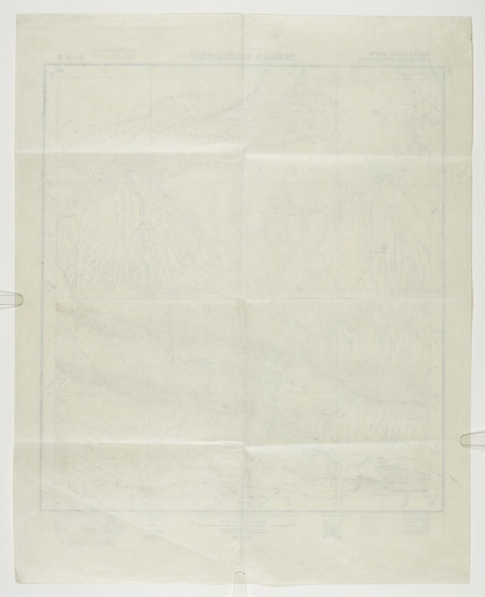
‘Persia & Balūchistān; Khārān & Makrān Districts & Persian Balūchistān Province’ [218v] (2/2)
The record is made up of 1 map. It was created in 1915. It was written in English. The original is part of the British Library: India Office The department of the British Government to which the Government of India reported between 1858 and 1947. The successor to the Court of Directors. Records and Private Papers Documents collected in a private capacity. .
About this item
- Content
Map of part of the territory on the Persia [Iran] and Baluchistan (part of present-day Pakistan) frontier, published under the direction of Colonel Sir Sidney Gerald Burrard, Surveyor General of India, 1915. The map indicates: relief, with form lines; hydrology; roads; settlements; boundaries, including the boundary between Persia and Baluchistan.
The map accompanies papers and correspondence dated 1935 that relate to a dispute between the British and Persian Governments over the position of the border around Kuhak [Nūk Jow], Persia. The map is specifically referred to in a Foreign Office minute dated 20 December 1935, entitled ‘Alleged Intrusion of British Levies into Persian Territory near Kuhak.’ (ff 220-221).
- Extent and format
- 1 map
- Area map covers
- Map loading...
- Scale
- 1:253,440
- Scale designator
- Horizontal
- Orientation
- North
- Degree coordinates
- Top-left: 28° 0' 0" N, 63° 0' 0" E
Top-right: 28° 0' 0" N, 64° 0' 0" E
Bottom-left: 27° 0' 0" N, 63° 0' 0" E
Bottom-right: 27° 0' 0" N, 64° 0' 0" E - Physical characteristics
Dimensions: 460 x 420 mm, on sheet 590 x 476 mm.
Materials: Printed in colour on paper.
- Written in
- English in Latin script View the complete information for this record
Use and share this item
- Share this item
‘Persia & Balūchistān; Khārān & Makrān Districts & Persian Balūchistān Province’ [218v] (2/2), British Library: India Office Records and Private Papers, IOR/L/PS/12/3497, f 218, in Qatar Digital Library <https://www.qdl.qa/archive/81055/vdc_100063037223.0x000027> [accessed 23 May 2024]
https://www.qdl.qa/en/archive/81055/vdc_100063037223.0x000027
Copy and paste the code below into your web page where you would like to embed the image.
<meta charset="utf-8"><a href="https://www.qdl.qa/en/archive/81055/vdc_100063037223.0x000027">‘Persia & Balūchistān; Khārān & Makrān Districts & Persian Balūchistān Province’ [‎218v] (2/2)</a> <a href="https://www.qdl.qa/en/archive/81055/vdc_100063037223.0x000027"> <img src="https://iiif.qdl.qa/iiif/images/81055/vdc_100000000648.0x000038/IOR_L_PS_12_3497_0441.jp2/full/!280,240/0/default.jpg" alt="" /> </a>
This record has a IIIF manifest available as follows. If you have a compatible viewer you can drag the icon to load it.https://www.qdl.qa/en/iiif/81055/vdc_100000000648.0x000038/manifestOpen in Universal viewerOpen in Mirador viewerMore options for embedding images
Copyright: How to use this content
- Reference
- IOR/L/PS/12/3497, f 218
- Title
- ‘Persia & Balūchistān; Khārān & Makrān Districts & Persian Balūchistān Province’
- Pages
- 218r:218v
- Author
- East India Company, the Board of Control, the India Office, or other British Government Department
- Usage terms
- Open Government Licence