
!['Military Report of the Nushki-Chagai-Western Sinjarani Country' [‎24r] (52/302)](https://iiif.qdl.qa/iiif/images/81055/vdc_100000001491.0x000126/Mss Eur F111_386_0056.jp2/full/!1200,1200/0/default.jpg "'Military Report of the Nushki-Chagai-Western Sinjarani Country' [‎24r] (52/302)")
'Military Report of the Nushki-Chagai-Western Sinjarani Country' [24r] (52/302)
The record is made up of 1 volume (147 folios). It was created in 1904. It was written in English. The original is part of the British Library: India Office The department of the British Government to which the Government of India reported between 1858 and 1947. The successor to the Court of Directors. Records and Private Papers Documents collected in a private capacity. .
Transcription
This transcription is created automatically. It may contain errors.
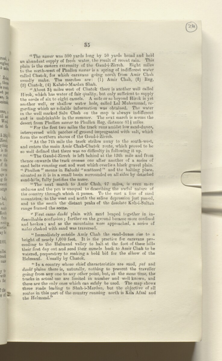
Tl The naroar was 300 yards lon^ by 50 yards broad and held
an abundant supply of fresh water, the result of recent rain. This
plain is the eastern extremity of the Gaud-i-Zirreh. Eight miles
to the north-west of Phullcn naivar is a spring of indifferent water
called Chatok, for which caravans going north from Amir Chuh
usually make. The marches are: (1) Amir Chuh, (2j Reg,
(3) Chatok, (4) Kalat-i-Mardan Shah.
“About miles west of Chatok there is another well called
Ilirok, which has water of fair quality, but only sufficient to supply
the needs of six to eight camels. A mile or so beyond Hirok is yet
another well, or shallow water hole, called Lai Muhammad, re
garding which no reliable information was obtained. The water
in the well marked Salu Chah on the map is always indifferent
and is undrinkable in the summer. The next march is across the
desert from Phullen nawar to Phullen Reg, distance 311 miles.
“ For the first two miles the track runs amidst low sand-dunes,
interspersed with patches of ground impregnated with salt, which
form the northern shores of the Gaud-i-Zirreh.
“ At the 7th mile the track strikes away to the south-west,
and enters the main Amir Chah-Chatok route, which proved to be
so well defined that there was no difficulty in following it up.
“The Gaud-i-Zirreh is left behind at the 13th mile and from
thence onwards the track crosses one after another of a series of
sand belts running east and west which overlie a black gravel plain.
“ Phullen ” means in Baluchi “ scatteredand the halting place,
situated as it is in a small basin surrounded on all sides by detached
sand-hids, fully justifies the name.
“ The next march to Amir Chah, 27 miles, is even more
arduous and the pen is unequal to describing the awful nature of
the country through which it passes. To the east a line of sand
mountains, to the west and north the saline depression just passed,
and to the south the distant peaks of the desolate Koh-i-Sultan
range framed the scene.
“ First came daskt plain with sand heaped together in in
describable confusion ; further on the ground became more confim-d
and broken ; and as the mountains were approached, a series of
nalas choked with sand was traversed.
“ Immediately outside Amir Chah the sand-dunes rise to a
height of nearly 1,000 feet. It is the practice for caravans pro
ceeding to the Helmand valley to halt at the foot of these hills
their first day out and send their camels back to Amir Chah to he
watered, preparatory to making a bold bid for the elbow of the
Helmand. Usually by Chatok.
“ In a country whose chief characteristics are sand, pat and
dasht plains there is, naturally, nothing to prevent the traveller
going from any one to any other point, but, at the same time, the
tracks in actual use are limited in number and well known, and
these are the only ones which can safely be used. The map shows
three roads lea'ling to Shah-i-Mardan, but the objective of all
routes in this part of the country running north is Kila Afzal and
the Helmand.
About this item
- Content
A report, marked as secret, on the area of Nushki, Chagai, and Western Sinjarani. The report was compiled in the Intelligence Branch, Quarter Master General's Department. The report was commenced in 1897 by Captain R E Roome, 6th Bombay Cavalry (Jacob's Horse), and revised and completed by Major W C Walton, 104th Wellesley's Rifles, Deputy Assistant Quarter Master General in 1903. It was printed at the Government Central Printing Office, Simla, in 1904.
The report includes a preface by Colonel John E Nixon, Assistant Quarter Master General, Intelligence Branch (folio 5) and a glossary of vernacular terms used (folio 6). The main body of the report contains chapters on geography, communications, fortified posts and forts, climate, sanitation, resources, ethnography, history, administration, and military strength.
The second part of the report includes a gazetteer of topographical and ethnographic information (folios 36-127) and appendices covering wells, canals, and meteorology, and including a report on the signalling stations of the Dalbandin-Robat line, with sketches (folios 131-147).
The volume includes the following maps:
- Map of Southern Baluchistan (folio 2)
- Sketch Map of Signalling Line from Dalbandin to Robat (folio 148)
- Map of Persian Seistan [Sistan] Cultivated Area (folio 149).
- Extent and format
- 1 volume (147 folios)
- Arrangement
The volume includes a table of contents (folios 5-6) with reference to the original pagination.
- Physical characteristics
Foliation: the foliation sequence (used for referencing) commences at the front cover with 1, and terminates at the inside back cover with 149; these numbers are written in pencil, are circled, and are located in the top right corner of the recto The front of a sheet of paper or leaf, often abbreviated to 'r'. side of each folio.
- Written in
- English in Latin script View the complete information for this record
Use and share this item
- Share this item
'Military Report of the Nushki-Chagai-Western Sinjarani Country' [24r] (52/302), British Library: India Office Records and Private Papers, Mss Eur F111/386, in Qatar Digital Library <https://www.qdl.qa/archive/81055/vdc_100076627109.0x000035> [accessed 8 August 2026]
https://www.qdl.qa/en/archive/81055/vdc_100076627109.0x000035
Copy and paste the code below into your web page where you would like to embed the image.
<meta charset="utf-8"><a href="https://www.qdl.qa/en/archive/81055/vdc_100076627109.0x000035">'Military Report of the Nushki-Chagai-Western Sinjarani Country' [‎24r] (52/302)</a> <a href="https://www.qdl.qa/en/archive/81055/vdc_100076627109.0x000035"> <img src="https://iiif.qdl.qa/iiif/images/81055/vdc_100000001491.0x000126/Mss Eur F111_386_0056.jp2/full/!280,240/0/default.jpg" alt="" /> </a>
This record has a IIIF manifest available as follows. If you have a compatible viewer you can drag the icon to load it.https://www.qdl.qa/en/iiif/81055/vdc_100000001491.0x000126/manifestOpen in Universal viewerOpen in Mirador viewerMore options for embedding images
Copyright: How to use this content
- Reference
- Mss Eur F111/386
- Title
- 'Military Report of the Nushki-Chagai-Western Sinjarani Country'
- Pages
- front, back, spine, edge, head, tail, front-i, 3r:146v, back-i
- Author
- East India Company, the Board of Control, the India Office, or other British Government Department
- Usage terms
- Open Government Licence