
!['Military Report of the Nushki-Chagai-Western Sinjarani Country' [‎119r] (242/302)](https://iiif.qdl.qa/iiif/images/81055/vdc_100000001491.0x000126/Mss Eur F111_386_0246.jp2/full/!1200,1200/0/default.jpg "'Military Report of the Nushki-Chagai-Western Sinjarani Country' [‎119r] (242/302)")
'Military Report of the Nushki-Chagai-Western Sinjarani Country' [119r] (242/302)
The record is made up of 1 volume (147 folios). It was created in 1904. It was written in English. The original is part of the British Library: India Office The department of the British Government to which the Government of India reported between 1858 and 1947. The successor to the Court of Directors. Records and Private Papers Documents collected in a private capacity. .
Transcription
This transcription is created automatically. It may contain errors.
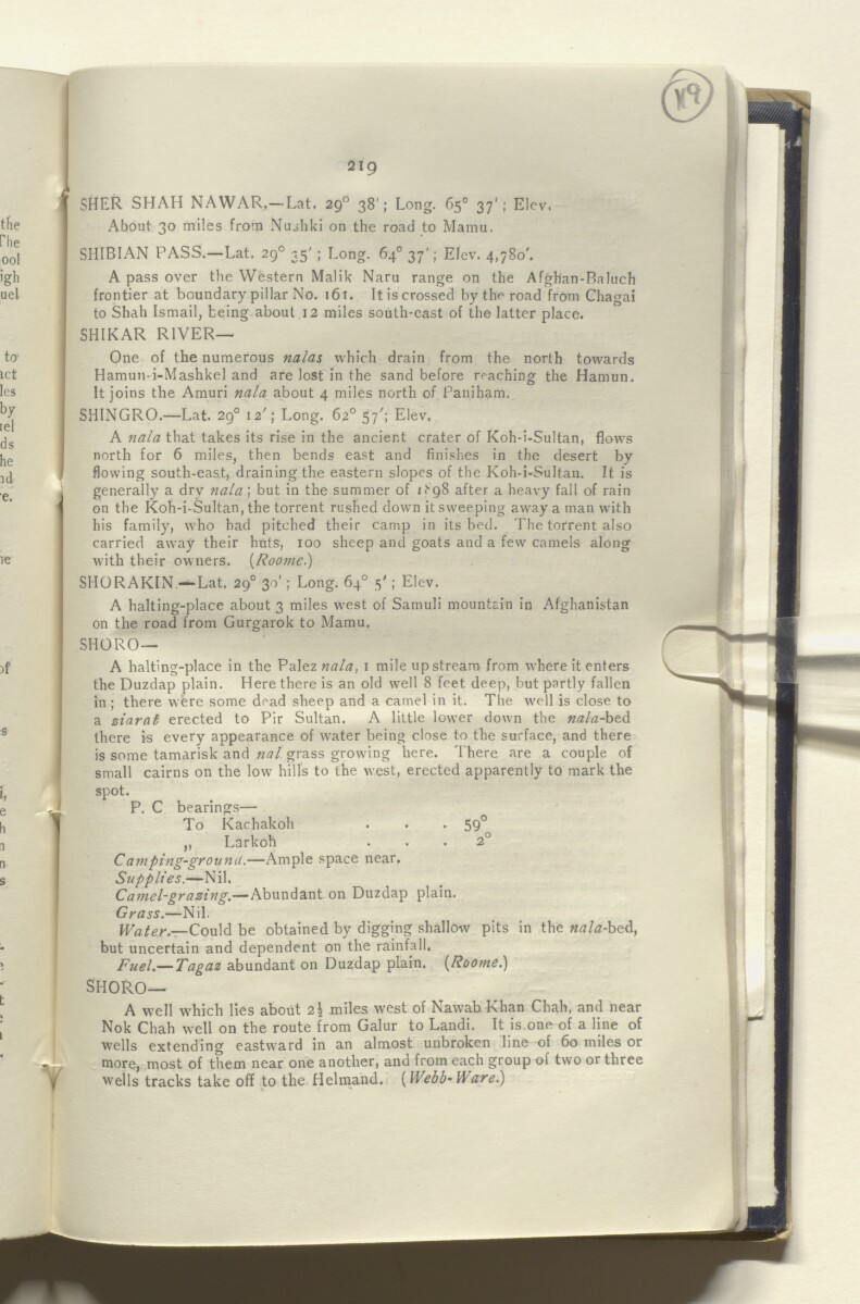
SHER SHAH NAWAR.— Lat. 29 0 38'; Long. 65° 37'; Kiev,
About 30 miles from Nushki on the road to Mamu.
SHIBIAN PASS.—Lat. 29 0 35' ; Long. 64° 37'; Elev. 4,780'.
A pass over the Western Malik Naru range on the Afghan-Baluch
frontier at boundary pillar No. 161. It is crossed by the road from Chagai
to Shah Ismail, being about 12 miles south-east of the latter place.
SHIKAR RIVER—
One of the numerous nalas which drain from the north towards
Hamun-i-Mashkel and are lost in the sand before reaching the Hamun.
It joins the Amuri nala about 4 miles north of Paniham.
SHINGRO.—Lat. 29° I2'; Long. 62° 57'; Elev.
A nala that takes its rise in the ancient crater of Koh-i-Sultan, flows
north for 6 miles, then bends east and finishes in the desert by
flowing south-east, draining the eastern slopes of the Koh-i-Sultan. It is
generally a dry na/a; but in the summer of /•'“pS after a heavy fall of rain
on the Koh-i-Sultan, the torrent rushed down it sweeping away a man with
his family, who had pitched their camp in its bed. The torrent also
carried away their huts, 100 sheep and goats and a few camels along
with their owners. (Roomc.)
SHORAKIN—Lat. 29 0 30'; Long. 64° 5'; Elev.
A halting-place about 3 miles west of Samuli mountain in Afghanistan
on the road from Gurgarok to Mamu.
SHORO —
A halting-place in the Palez nala, 1 mile upstream from where it enters
the Duzdap plain. Here there is an old well 8 feet deep, but partly fallen
in ; there were some dead sheep and a camel in it. The well is close to
a ziarat erected to Pir Sultan. A little lower down the nala-bzd.
there is every appearance of water being close to the surface, and there
is some tamarisk and nal grass growing here. There are a couple of
small cairns on the low hills to the west, erected apparently to mark the
spot.
P. C bearings—
To Kachakoh . . . 59 °
„ Larkoh ... 2°
Camping-ground. —Ample space near.
Supplies. —Nil.
Camel-grazing. —Abundant on Duzdap plain.
Grass. —Nil.
Water.—C qu\& be obtained by digging shallow pits in the «tf/tf-bed,
but uncertain and dependent on the rainfall.
Fuel .— Tagaz abundant on Duzdap plain. {Rooms.)
SHORO—
A well which lies about 2\ miles west of
Nawab
An honorific title; an official acting as a provincial deputy ruler in South Asia; or a significant Muslim landowner in nineteenth century India.
Khan Chah, and near
Nok Chah well on the route from Galur to Landi. It is one of a line of
wells extending eastward in an almost unbroken line of 60 miles or
more, most of them near one another, and from each group of two or three
wells tracks take off to the Helmand. {Webb-Warei)
About this item
- Content
A report, marked as secret, on the area of Nushki, Chagai, and Western Sinjarani. The report was compiled in the Intelligence Branch, Quarter Master General's Department. The report was commenced in 1897 by Captain R E Roome, 6th Bombay Cavalry (Jacob's Horse), and revised and completed by Major W C Walton, 104th Wellesley's Rifles, Deputy Assistant Quarter Master General in 1903. It was printed at the Government Central Printing Office, Simla, in 1904.
The report includes a preface by Colonel John E Nixon, Assistant Quarter Master General, Intelligence Branch (folio 5) and a glossary of vernacular terms used (folio 6). The main body of the report contains chapters on geography, communications, fortified posts and forts, climate, sanitation, resources, ethnography, history, administration, and military strength.
The second part of the report includes a gazetteer of topographical and ethnographic information (folios 36-127) and appendices covering wells, canals, and meteorology, and including a report on the signalling stations of the Dalbandin-Robat line, with sketches (folios 131-147).
The volume includes the following maps:
- Map of Southern Baluchistan (folio 2)
- Sketch Map of Signalling Line from Dalbandin to Robat (folio 148)
- Map of Persian Seistan [Sistan] Cultivated Area (folio 149).
- Extent and format
- 1 volume (147 folios)
- Arrangement
The volume includes a table of contents (folios 5-6) with reference to the original pagination.
- Physical characteristics
Foliation: the foliation sequence (used for referencing) commences at the front cover with 1, and terminates at the inside back cover with 149; these numbers are written in pencil, are circled, and are located in the top right corner of the recto The front of a sheet of paper or leaf, often abbreviated to 'r'. side of each folio.
- Written in
- English in Latin script View the complete information for this record
Use and share this item
- Share this item
'Military Report of the Nushki-Chagai-Western Sinjarani Country' [119r] (242/302), British Library: India Office Records and Private Papers, Mss Eur F111/386, in Qatar Digital Library <https://www.qdl.qa/archive/81055/vdc_100076627110.0x00002b> [accessed 28 July 2026]
https://www.qdl.qa/en/archive/81055/vdc_100076627110.0x00002b
Copy and paste the code below into your web page where you would like to embed the image.
<meta charset="utf-8"><a href="https://www.qdl.qa/en/archive/81055/vdc_100076627110.0x00002b">'Military Report of the Nushki-Chagai-Western Sinjarani Country' [‎119r] (242/302)</a> <a href="https://www.qdl.qa/en/archive/81055/vdc_100076627110.0x00002b"> <img src="https://iiif.qdl.qa/iiif/images/81055/vdc_100000001491.0x000126/Mss Eur F111_386_0246.jp2/full/!280,240/0/default.jpg" alt="" /> </a>
This record has a IIIF manifest available as follows. If you have a compatible viewer you can drag the icon to load it.https://www.qdl.qa/en/iiif/81055/vdc_100000001491.0x000126/manifestOpen in Universal viewerOpen in Mirador viewerMore options for embedding images
Copyright: How to use this content
- Reference
- Mss Eur F111/386
- Title
- 'Military Report of the Nushki-Chagai-Western Sinjarani Country'
- Pages
- front, back, spine, edge, head, tail, front-i, 3r:146v, back-i
- Author
- East India Company, the Board of Control, the India Office, or other British Government Department
- Usage terms
- Open Government Licence