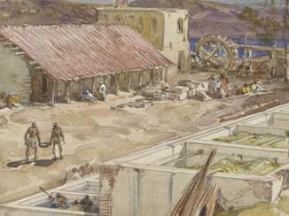
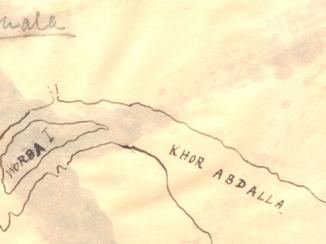
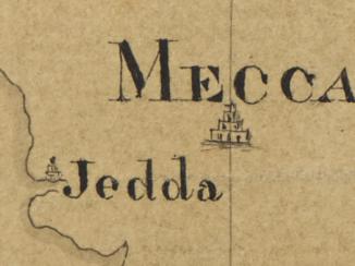
'A Map of the Countries Between Constantinople and Calcutta including Turkey in Asia, Persia, Afghanistan & Turkestan.' Western portion only. With manuscript additions showing the positions of religious sites, naval bases, oil sites and updated railway information
Mss Eur F112/552, f 12


2 items in this record
Search within this record
The record is made up of 1 map sheet. It was created in 1912-1917?. It was written in English. The original is part of the British Library: India Office The department of the British Government to which the Government of India reported between 1858 and 1947. The successor to the Court of Directors. Records and Private Papers Documents collected in a private capacity. .
About this record
- Content
Western half of printed map sheet; the eastern half, disassociated, was not present on transfer.
Western portion bears the imprints 'London; Published by Edward Stanford, Ltd., 12, 13, & 14, Long Acre, W.C., Oct. 1st., 1912' and '11012'. Covers western Asia, including the Arabian Peninsula. Portrays hydrology, relief by spot heights A point on a map at which the height of the land is recorded. and hachures Lines drawn on a map to indicate the direction and steepness of slope. , roads, railways, submarine telegraphs, settlements, place names and international boundaries. A full copy of this map, also incorporating a red plate not present on this version (showing steamship routes, proposed railways and limits of British jurisdiction in Persia [Iran]), is filed at Maps X.6918.
Manuscript additions portray supplementary railway information, religious sites, naval and submarine bases and oil sites, and includes strategic notes.
Creation end date derived from position of military forces on Mss Eur F112/552, f 11.
Verso The back of a sheet of paper or leaf, often abbreviated to 'v'. bears the note 'Arabia [?]Sykes'.
- Extent and format
- 1 map sheet
- Area map covers
- Map loading...
- Scale
- Scale 1:6,969,600
- Scale designator
- Horizontal
- Orientation
- North
- Degree coordinates
- Top-left: 47° 30' 27.72" N, 20° 14' 24" E
Top-right: 47° 30' 27.72" N, 70° 25' 6.96" E
Bottom-left: 5° 28' 14.16" N, 20° 14' 24" E
Bottom-right: 5° 28' 14.16" N, 70° 25' 6.96" E - It is part of
- 30 imagesRef: Mss Eur F112/552
- Physical characteristics
Materials: Printed, with manuscript additions in ink, pencil, crayon and watercolour, on paper
Dimensions: 630 x 577mm, on sheet 710 x 616mm
- Written in
- English in Latin script
- Type
- Map
Archive information for this record
- Original held at
- British Library: India Office The department of the British Government to which the Government of India reported between 1858 and 1947. The successor to the Court of Directors. Records and Private Papers Documents collected in a private capacity.
- Access conditions
Unrestricted
- Archive reference
- Mss Eur F112/552, f 12
- Date(s)
- 1912-1917? (CE, Gregorian)
Access & Reference
History of this record
Related search terms
- Places
- ConstantinopleArabian Peninsula
- People & organisations
- Edward Stanford and Co, publishers and stationers
Use and share this record
- Share this record
- Cite this record in your research
'A Map of the Countries Between Constantinople and Calcutta including Turkey in Asia, Persia, Afghanistan & Turkestan.' Western portion only. With manuscript additions showing the positions of religious sites, naval bases, oil sites and updated railway information, British Library: India Office Records and Private Papers, Mss Eur F112/552, f 12, in Qatar Digital Library <https://www.qdl.qa/archive/81055/vdc_100140101994.0x000002> [accessed 17 July 2026]
- Link to this record
https://www.qdl.qa/en/archive/81055/vdc_100140101994.0x000002
- IIIF details
This record has a IIIF manifest available as follows. If you have a compatible viewer you can drag the icon to load it.https://www.qdl.qa/en/iiif/81055/vdc_100000001491.0x000249/manifestOpen in Universal viewerOpen in Mirador viewerMore options for embedding images
Copyright: How to use this content
- Reference
- Mss Eur F112/552, f 12
- Title
- 'A Map of the Countries Between Constantinople and Calcutta including Turkey in Asia, Persia, Afghanistan & Turkestan.' Western portion only. With manuscript additions showing the positions of religious sites, naval bases, oil sites and updated railway information
- Pages
- 12r:12v
- Author
- War Office
- Usage terms
- Open Government Licence
- Reference
- Mss Eur F112/552, f 12
- Title
- 'A Map of the Countries Between Constantinople and Calcutta including Turkey in Asia, Persia, Afghanistan & Turkestan.' Western portion only. With manuscript additions showing the positions of religious sites, naval bases, oil sites and updated railway information
- Pages
- 12r:12v
- Author
- Edward Stanford & Co, publishers and stationers
- Usage terms
- Public Domain