'Sketch map of Arabia'. With manuscript additions showing 'Friendly' and 'Hostile' Confederations
Mss Eur F112/552, f 10


2 items in this record
Search within this record
The record is made up of 1 map sheet. It was created in 1906-1916?. It was written in English. The original is part of the British Library: India Office The department of the British Government to which the Government of India reported between 1858 and 1947. The successor to the Court of Directors. Records and Private Papers Documents collected in a private capacity. .
About this record
- Content
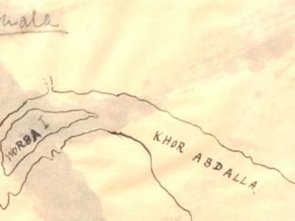
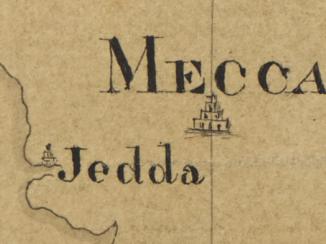
Printed sheet bearing the series designation 'I[intelligence].D[ivision].W[ar].O[ffice]. No. 1835' and the imprint 'Corrections, July, 1905. Railways revised Sept. 1906.' Portrays hydrology, relief by hachures Lines drawn on a map to indicate the direction and steepness of slope. , railways, roads, submarine telegraphs, settlements, place names and international boundaries; includes an inset A small map or other image enclosed within the margin of a larger map, map sheet, or larger image; or papers placed inside a book or archival volume. (120 x 98mm) titled 'Map of Koweit and Surrounding Country' at scale 1:2,027,520. Manuscript additions portray 'Friendly Confederations' in red and 'Hostile Confederations' in blue (see also Mss Eur F112/552, ff 3-4, from which this terminology is taken).
Creation end date derived from date of Arab Revolt.
A colour version of this sheet, without manuscript additions, is filed at Maps MOD GSGS 1835.
- Extent and format
- 1 map sheet
- Area map covers
- Map loading...
- Scale
- Scale 1:7,500,000
- Scale designator
- Horizontal
- Orientation
- North
- Degree coordinates
- Top-left: 37° 52' 0.12" N, 31° 10' 0.12" E
Top-right: 37° 52' 0.12" N, 61° 0' 0" E
Bottom-left: 11° 52' 0.12" N, 31° 10' 0.12" E
Bottom-right: 11° 52' 0.12" N, 61° 0' 0" E - It is part of
- 30 imagesRef: Mss Eur F112/552
- Physical characteristics
Materials: Printed, with manuscript additions in coloured ink and watercolour
Dimensions: 385 x 384mm, on sheet 498 x 507mm
- Written in
- English in Latin script
- Type
- Map
Archive information for this record
- Original held at
- British Library: India Office The department of the British Government to which the Government of India reported between 1858 and 1947. The successor to the Court of Directors. Records and Private Papers Documents collected in a private capacity.
- Access conditions
Unrestricted
- Archive reference
- Mss Eur F112/552, f 10
- Date(s)
- 1906-1916? (CE, Gregorian)
Access & Reference
History of this record
Related search terms
- Places
- Arabian PeninsulaKoweit
- People & organisations
- War Office
Use and share this record
- Share this record
- Cite this record in your research
'Sketch map of Arabia'. With manuscript additions showing 'Friendly' and 'Hostile' Confederations, British Library: India Office Records and Private Papers, Mss Eur F112/552, f 10, in Qatar Digital Library <https://www.qdl.qa/archive/81055/vdc_100140101994.0x00000d> [accessed 28 July 2026]
- Link to this record
https://www.qdl.qa/en/archive/81055/vdc_100140101994.0x00000d
- IIIF details
This record has a IIIF manifest available as follows. If you have a compatible viewer you can drag the icon to load it.https://www.qdl.qa/en/iiif/81055/vdc_100000001491.0x000249/manifestOpen in Universal viewerOpen in Mirador viewerMore options for embedding images
Copyright: How to use this content
- Reference
- Mss Eur F112/552, f 10
- Title
- 'Sketch map of Arabia'. With manuscript additions showing 'Friendly' and 'Hostile' Confederations
- Pages
- 10r:10v
- Author
- War Office
- Usage terms
- Open Government Licence
- Reference
- Mss Eur F112/552, f 10
- Title
- 'Sketch map of Arabia'. With manuscript additions showing 'Friendly' and 'Hostile' Confederations
- Pages
- 10r:10v
- Author
- War Office
- Usage terms
- Public Domain